Big Sur is the most beautiful place in California with endless adventures and opportunities to explore nature. It’s a breathtaking place that you must see at least once in your lifetime. Big Sur is a roughly 90-mile long between Carmel and San Simeon that is known for seaside cliffs, winding turns and gorgeous views of the coastline. It is bordered to the east by the Santa Lucia Mountains and the west by the Pacific Ocean. The drive on the Pacific Coast Highway is spectacular and there are plenty of pullovers for pictures.
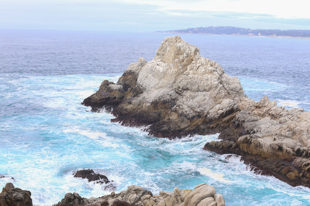
We drove to Big Sur from Orange County, CA and it took approximately 6.5 hours to get there. We stayed at the Hyatt Carmels Highland Inn and spent two full days exploring Big Sur. The Hyatt Carmel Highlands Inn is perched on a hillside in the Carmel Highlands with breathtaking views of the Pacific Ocean. It features 48 luxuriously hotel rooms and 94 suites. There are heated outdoor swimming pool, whirlpool spas, complimentary bicycles and complimentary Wi-Fi. The Hyatt Carmel Highlands is a category 7 hotel. As such, rooms are available for 30,000 points per night for those who are interested in redeeming your Hyatt points to stay here. We enjoyed staying here as the Hyatt Carmel Highlands and the surrounding area are incredibly beautiful.
Things to do in Big Sur
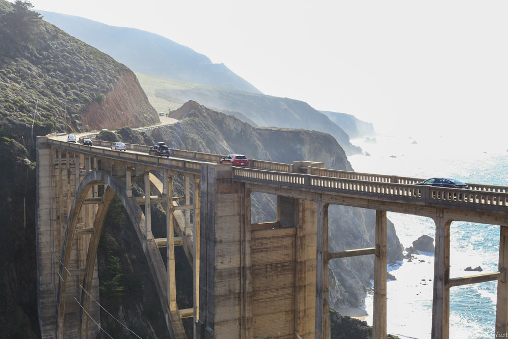
Bixby Creek Bridge
The Bixby Creek Bridge is one of the world’s highest single-span bridges on the Big Sur coast of California. The iconic landmark was opened in 1932, spanning 714 feet in length. There are paths on the both sides of the bridge that you can walk to get better views of the iconic structure. It is best to visit at sunset as the sun is not directly behind the bridge.
Pfeiffer State Beach
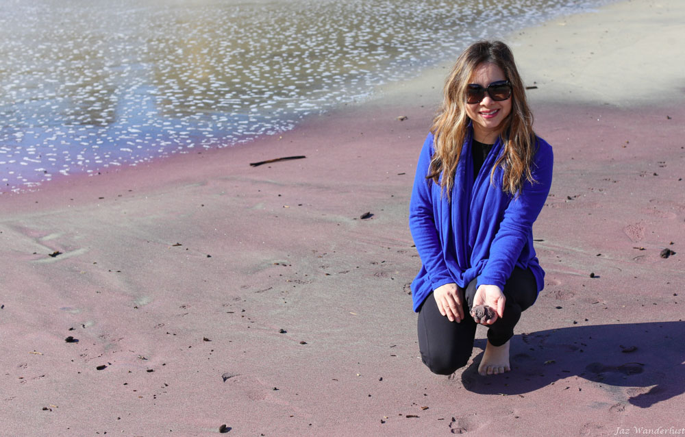
The Pfeiffer State Beach is amazing for its striking rock formations. The Pfeiffer Keyhole Rock is hard to miss due to its distinguishable arch. At low tide, visitors are able to walk through the water and take a Pfeiffer Keyhold Rock look at the surrounding tide pools. The sand is purple if you look close enough. Camping is not allowed and swimming is considered dangerous due to the geography of the beach.
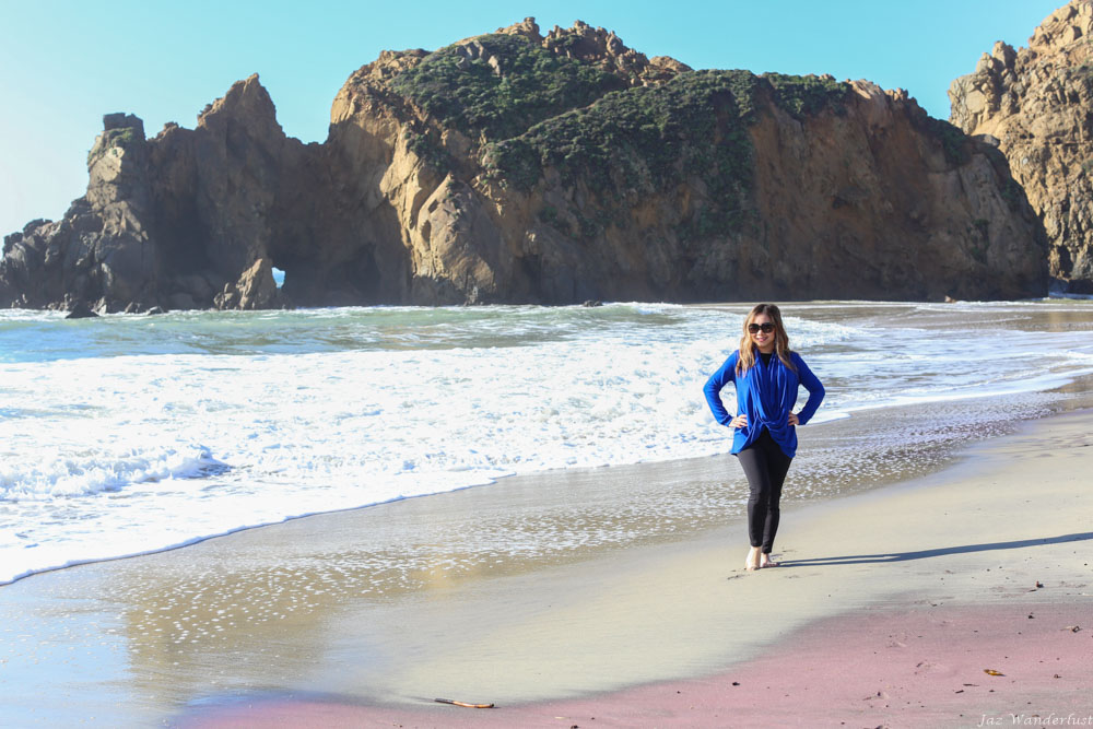
The Pfeiffer State Beach can be hard to find as there is no sign for the beach at the road entrance. From the Big Sur Visitor Center area, drive south on Highway 1 for about 0.5 mile until you see a yellow sign that says “Narrow Road.” Make a sharp turn to get onto Sycamore Canyon Road. About 2 miles down after driving on a road that takes you through a residential area, you will reach the day use area.
McWay Falls
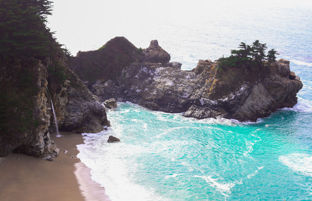
The McWay Falls is a beautiful, 80-foot tall waterfall on the coast of Big Sur in central California that looks like a paradise. It’s most photographed in Big Sur. It flows year-round from the McWay Creek in Julia Pleffer Burns State Park into the Pacific Ocean. The beach is a pool of turquoise water with crashing white surf that makes the perfect postcard photo. The hike to the McWay Falls is 0.25 miles and easy as it’s mostly on a paved trail. You cannot access the beach since the cliffs are unstable and dangerous. Parking is available at Julia Pleiffer Burns State Park.
Point Lobos
Point Lobos State Natural Reserve is the “crown jewel” of California’s 280 state parks. Our favorite trail is the Cypress Grove Trail, which is an 0.8 mile trail starts at the Sea Lion Point parking area. This is a beautiful trail where it provides a walk through mostly cypress forest outlined by cliffs with dramatic and spectacular ocean views.
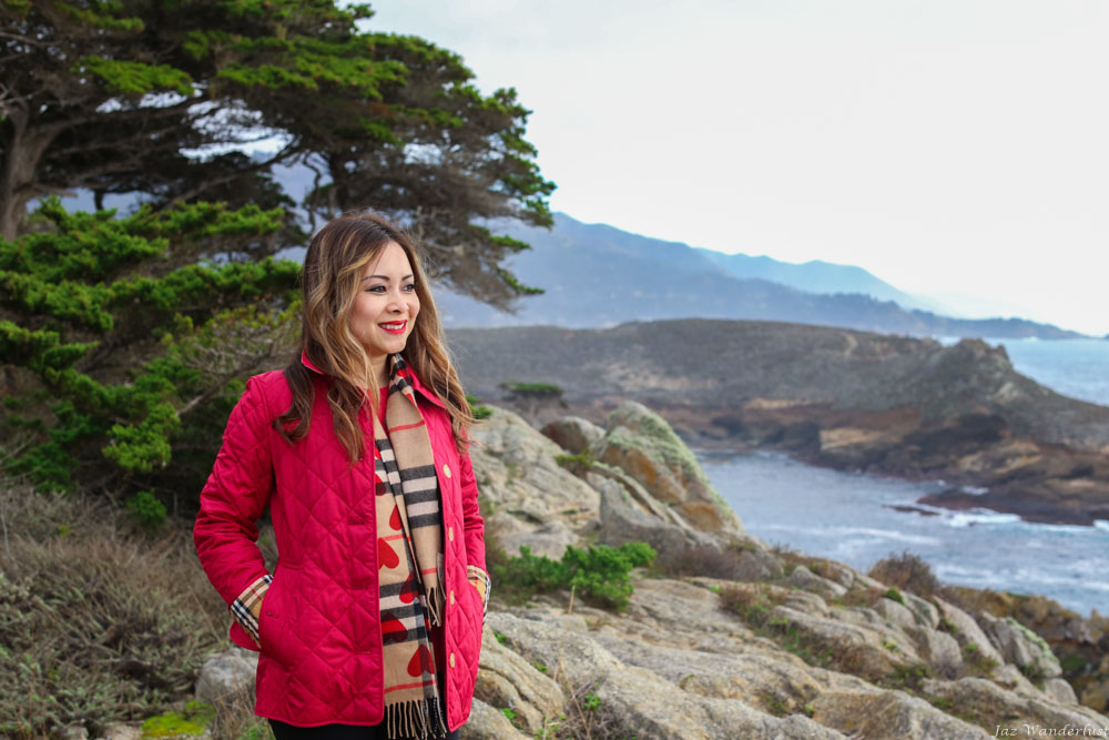
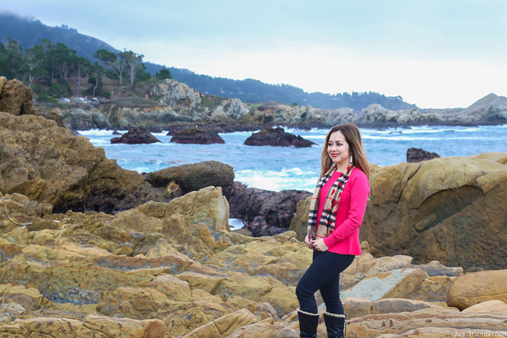
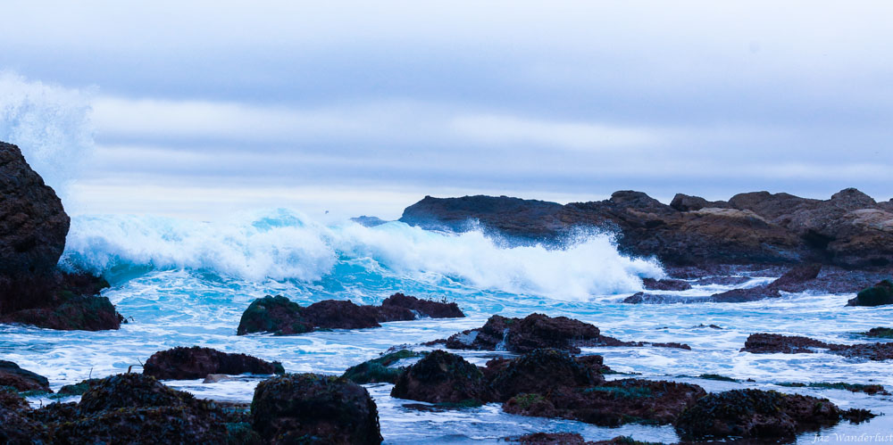
Another great place to explore is the Weston Beach Tide Pools. Some of the richest and most diverse intertidal habitats in the world can be found in the tide pools at the Weston Beach. With two low and two high tides daily, intertidal life must adapt to some of the most drastic changes in living conditions every day. Some of the animals and plants that we saw were hermit crab, black abalone, rock weed, purple shore crab, purple sea urchin and aggregated anemone. Check with the ranger for low tide info before you stop by here.
When to go to Big Sur
Big Sur is a year-round destination. The most popular time to visit Big Sur is between April to October, when the weather is nicest. However, the best time to go is between September to November since the crowd is still manageable compared to the summer months. Be sure to check for current road conditions before you go since dry weather can cause fire and rain can bring mud and rock slides.
Where to eat in Big Sur
There are plenty of places to eat in Big Sur. Most restaurants offer a unique view of the coastline or mountains. Nepenthe overlooks 50 miles of coastline and is one of the most picturesque dining spots in California. Pacific’s Edge welcomes diners for breakfast, lunch and dinner on its 870-square-foot deck, featuring louvered roof and glass-panel walls with dramatic views of the Pacific Ocean and the Big Sur coast. Big Sur Lodge Restaurant Outdoor Patio, Cafe & Deli offers an incredible views of majestic redwoods from outdoor patio and dining room windows. Big Sur Deli & General Store serves the local community with good food at affordable prices for over 25 years.
Tips before you go
- Rent or have a car as this is the only way to get around.
- Download Google Map for offline use before you go. Mobile service is rare in most of Big Sur so this will make navigation easier.
- Pack snacks and drinks.
- Have some cash handy as some places such as state parks do not accept credit cards.
- Have hiking/beach clothes available.
We love Big Sur as it’s a hidden gem in California with incredible view of California coast. What was your favorite part of Big Sur?

Beautiful photos and informative info. Looking forward to visit Big Sur.
You’ll love Big Sur Glad you thought the photos were beautiful